| 
|

 Droitwich Barge and Junction Canals - 7. Chawson
Before and After Restoration Picture Gallery
Droitwich
Worcestershire
England
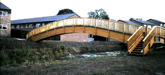
The Footbridge 1975
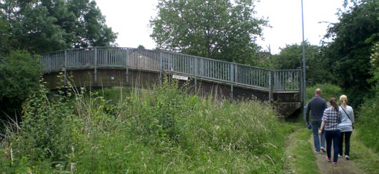
The Footbridge 2012
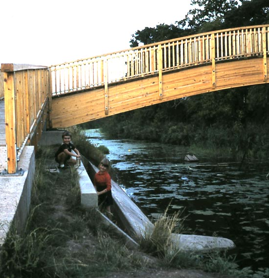
The Footbridge weir 1975
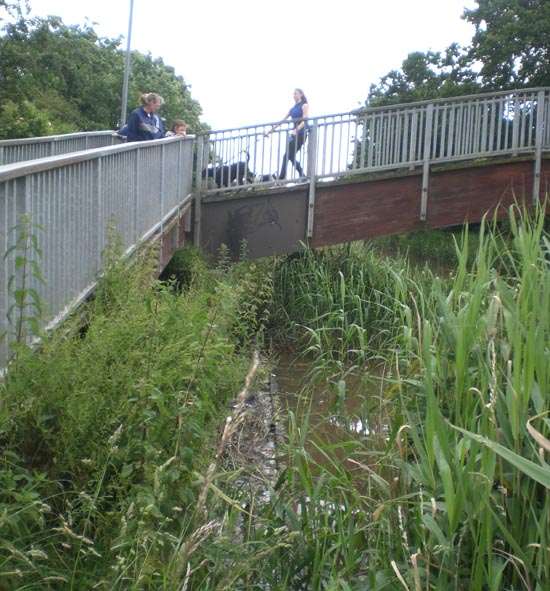
The Footbridge weir 2012
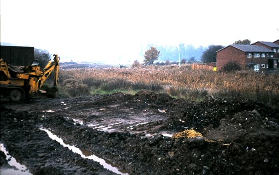
The reedbed/winding hole 1976
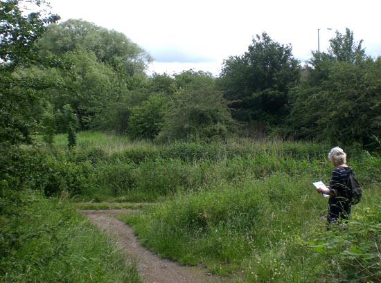
The reedbed/winding hole 1976 - the canal is just in front of the viewer
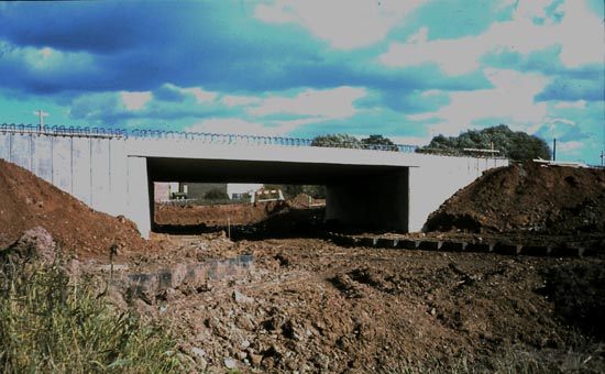
Ombersley Way Bridge 1977
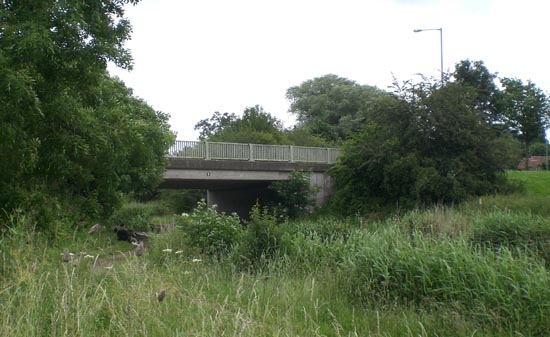
Ombersley Way Bridge 2012
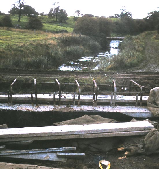
View from the Ombersley Way Bridge 1977
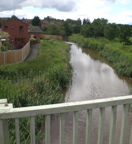
View from the Ombersley Way Bridge 2012
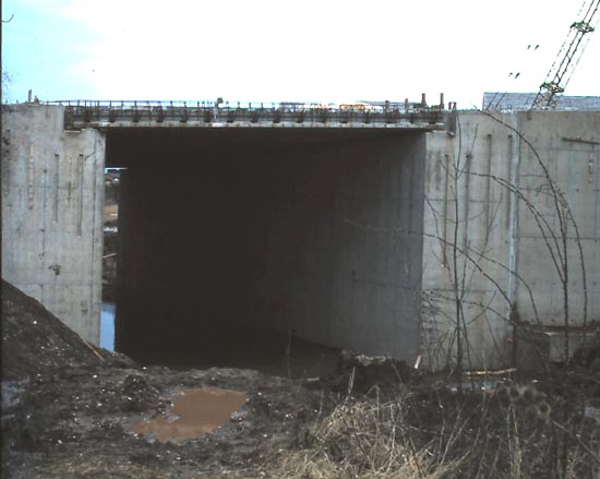
Roman Way Bridge 1979
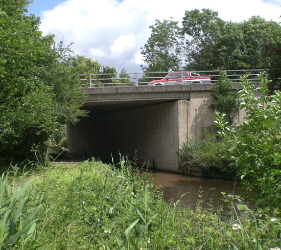
Roman Way Bridge 2012
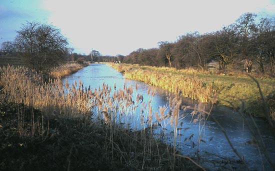
The Straight 1977
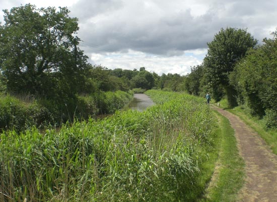
The Straight 2012
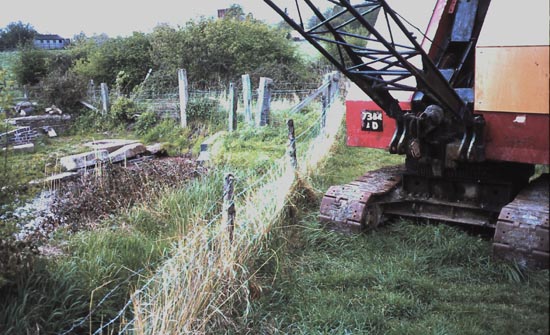
Swing Bridge 1980
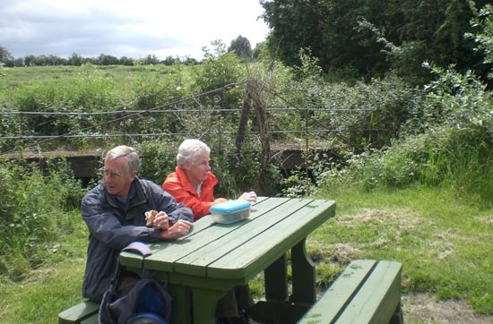
Swing Bridge 2012
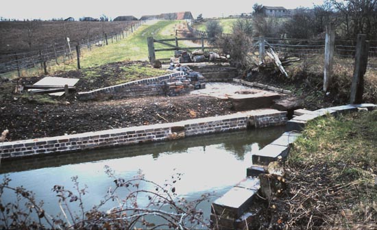
Swing Bridge 1979
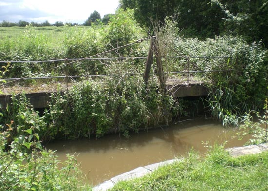
Swing Bridge 2012
Website: Click Here
SUPPLEMENTARY INFORMATION
Sectors: (click to go to the sector pictures)

1) TOPOGRAPHICAL LOCATION:
England The Droitwich Canals
2) LANDSCAPE:
Rolling CountrysideInland Water
3) INFORMATION CATEGORY:
Industrial ArchaeologyHistory & Heritage
5) GENERAL VISITOR INFORMATION:
Access By RoadAccess On Foot
Free Public Access
Free Parking Nearby
Accessible All Year


