| 
|

 Droitwich Barge and Junction Canals - 3. Town Lock
Before and After Restoration Picture Gallery
Droitwich
Worcestershire
England
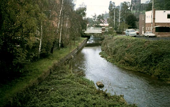
Under the A38 1976
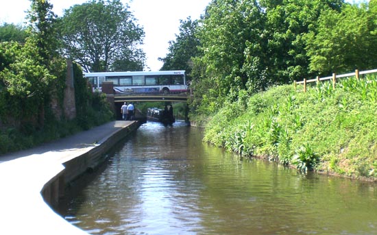
Under the A38 2012

Alongside the Hanbury Road 1976
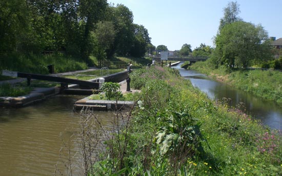
Alongside the Hanbury Road 2012
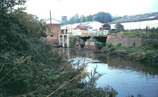
The Weir east of Droitwich 1976
Where once the Weir east of Droitwich 2012
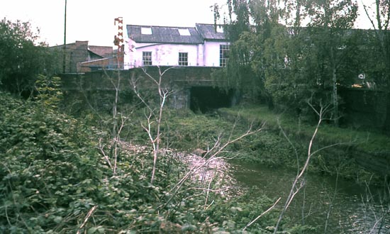
Where the canal once left the River Salwarpe 1976
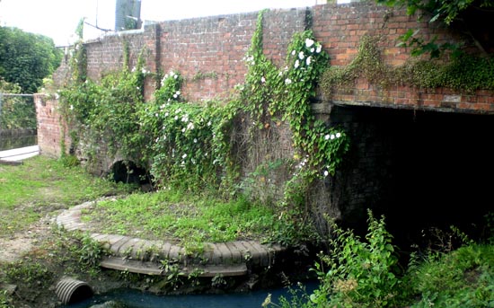
Where the canal once left the River Salwarpe 2012
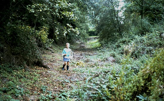
The canal bed east of Droitwich 1976
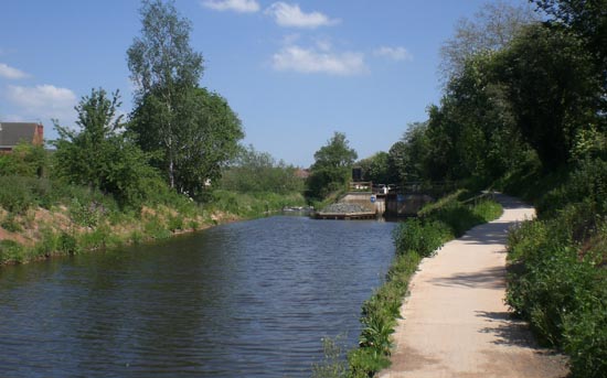
The canal bed east of Droitwich 2012
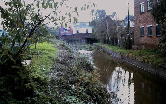
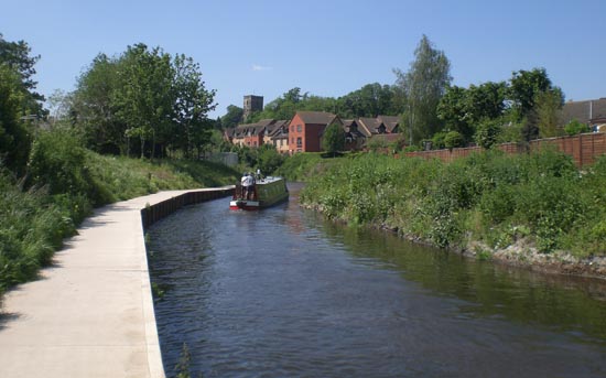
The River Salwarpe 1976 eventually to be transformed into the new canal route.
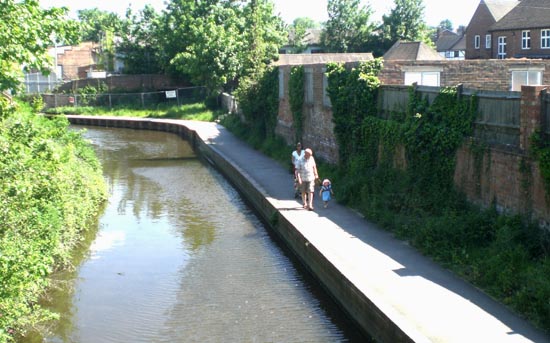
The River Salwarpe 2012 transformed into the new canal route.
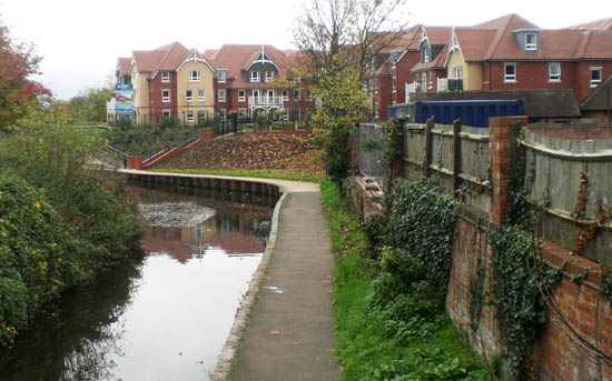
By 2015 the industrial buildings on the bend had been demolished and the old bridge covering the original canal route eradicated. A smart new housing development now overlooks the restored canal instead.
Website: Click Here
SUPPLEMENTARY INFORMATION
To return to the home page click website above
Sectors: (click to go to the sector pictures)

1) TOPOGRAPHICAL LOCATION:
England The Droitwich Canals
2) LANDSCAPE:
Rolling CountrysideInland Water
3) INFORMATION CATEGORY:
Industrial ArchaeologyHistory & Heritage
5) GENERAL VISITOR INFORMATION:
Access By RoadAccess On Foot
Accessible All Year


