| 
|


 Droitwich Barge and Junction Canals - 17 New Locks/Kiddy Road Bridge
 Before and After Restoration Picture Gallery
Droitwich
Worcestershire
England
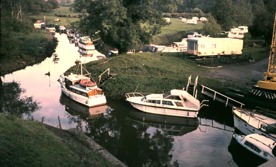
Site of Planned Upper New Lock 1976
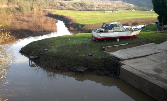
Site of Planned Upper New Lock 2012 (it did not happen)

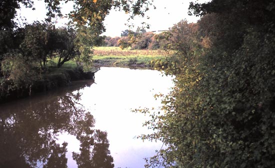
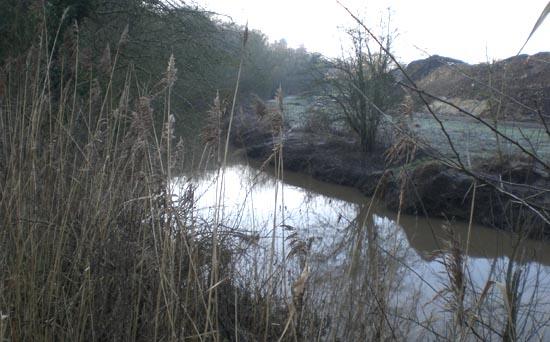
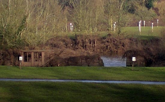
Planned Navigation Channel - River Salwarpe 1976
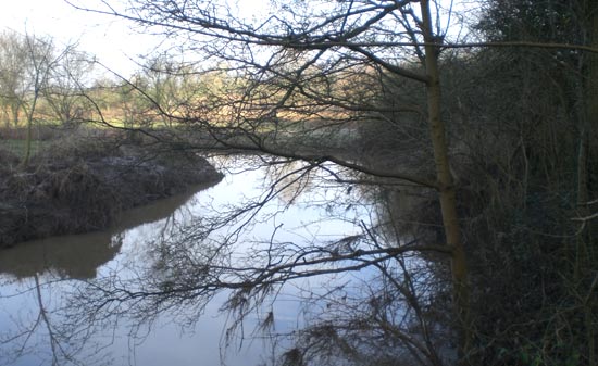
Planned Navigation Channel - River Salwarpe and Tip 2013
Planned Route Under the Kidderminster Road Bridge 1977
Planned Route Under the Kidderminster Road Bridge 2013
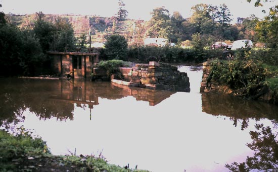
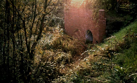
The Old Weir Planned to be Resited 1976
The Old Weir 2013
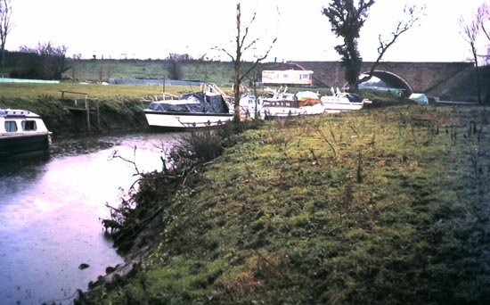
The New Planned Route from the Kidderminster Road Bridge 1976
The Route that was not to be from the Kidderminster Road Bridge 2013
The Problem - the Culvert under the Kiddy Road 1976
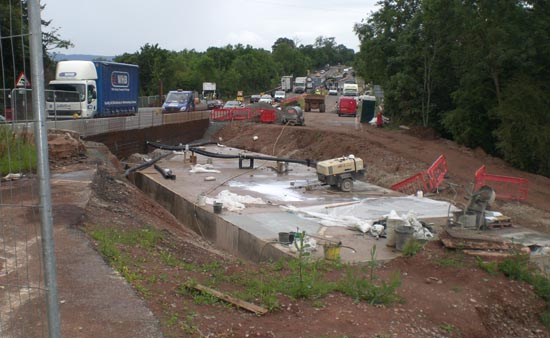
The Problem Addressed - the alternative solution 2009
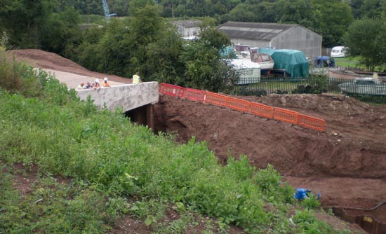
The Problem Addressed - the alternative solution taking shape 2009

The Problem Resolved - the Canal under the Kiddy Road 2013
Website: Click Here
SUPPLEMENTARY INFORMATION
Sectors: (click to go to the sector pictures)

1) TOPOGRAPHICAL LOCATION:
England The Droitwich Canals
2) LANDSCAPE:
FarmlandRolling Countryside
Inland Water
3) INFORMATION CATEGORY:
Geology & LandscapeHistory & Heritage
5) GENERAL VISITOR INFORMATION:
Access On FootFree Public Access
Free Parking Nearby
Accessible All Year